
When India’s Chandrayaan-3 lander settled into the lunar dust, one of the most detailed topographical maps of its historic landing site emerged not from a government supercomputer but from the desktop of a lone researcher. This accomplishment highlights a paradigm shift in space exploration, demonstrating that with public data and accessible tools, individuals can now produce mission-critical assets once exclusively the domain of national space agencies. This new era of democratized space science poses a compelling question: can the collective power of citizen scientists genuinely influence the course of lunar missions? The answer appears to be a resounding yes, signaling a future where cosmic exploration is a collaborative, global endeavor.
Beyond the Agency a Single Researcher Maps the Moon
When India’s Chandrayaan-3 touched down near the lunar south pole, the world celebrated a monumental achievement. Yet, behind the official mission reports, a parallel success story unfolded. An independent researcher, Chandra Tungathurthi, using publicly accessible data, created one of the most precise and detailed maps of the landing site, known as Shiv Shakti Point.
This was not the product of a sprawling, multi-billion-dollar agency but the result of one person’s expertise combined with open-source technology. The work underscores a significant shift, proving that crucial contributions to planetary science are no longer confined to institutional laboratories. It establishes a powerful precedent where dedicated individuals can provide valuable, mission-grade support from anywhere on Earth.
The New Frontier of Open Data
Modern lunar exploration operates on a knife’s edge, where a single, unseen boulder or a steep, shadowed crater can spell the difference between mission success and catastrophic failure. High-resolution terrain mapping is therefore not a luxury but an absolute necessity for identifying safe landing zones and charting viable rover paths. This demand for precision is set to intensify with ambitious future projects, such as the Chandrayaan-4 sample return mission, which will require an unprecedented understanding of the lunar landscape to execute its complex objectives.
Recognizing this critical need, space agencies like the Indian Space Research Organisation (ISRO) have increasingly adopted an open-data policy. By making high-value imagery and sensor readings from orbiters publicly available, they have unlocked the potential for global collaboration. This trend transforms passive data sitting in archives into an active resource, inviting a worldwide community of scientists, engineers, and enthusiasts to analyze, interpret, and innovate.
Anatomy of a DIY Lunar Map
The foundation of this independent mapping project was publicly available imagery captured by the High Resolution Camera aboard the Chandrayaan-2 orbiter. This powerful instrument, which continues to circle the Moon, provides stereoscopic images whose data is accessible to anyone with an internet connection, effectively democratizing access to top-tier planetary data.
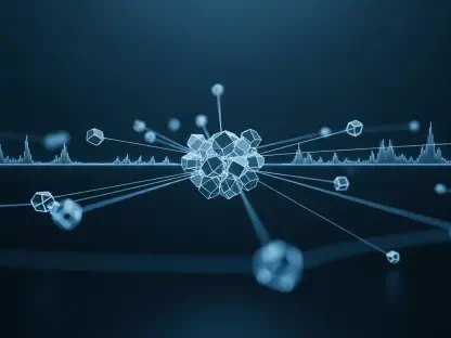
This raw data was processed using open-source photogrammetry software, a digital toolkit that algorithmically stitches together multiple two-dimensional images to construct a cohesive three-dimensional model. This technique, once reserved for specialized government and commercial labs, is now accessible enough for independent researchers to perform complex topographical analysis. The result was a mission-grade Digital Elevation Model (DEM) of Shiv Shakti Point, boasting a resolution of approximately 30 centimeters per pixel. This level of detail is sufficient to identify small rocks, subtle slopes, and other features critical for safe navigation.
More Than Just a Pretty Picture
The primary value of the DEM created by Tungathurthi lies in its ability to provide a true topographical representation of the lunar surface, not just a flat satellite image. This three-dimensional perspective allows for the precise measurement of terrain characteristics, including the height of ridges, the depth of craters, and the steepness of slopes, all of which are critical factors for mission planners.
Tungathurthi demonstrated how this independent model could be used to chart the safest and most efficient paths for a rover, avoiding potential hazards that might be invisible in 2D imagery. The project’s success serves as a powerful proof-of-concept, reinforcing that high-fidelity assets created outside official channels are not merely academic exercises. They are viable, valuable tools that can directly support and de-risk complex interplanetary missions.
A Blueprint for Future Lunar Contributors
The path for aspiring citizen scientists to contribute is becoming clearer. The first step involves mining the vast public archives maintained by space agencies. These digital troves, containing petabytes of data from missions like Chandrayaan, NASA’s Lunar Reconnaissance Orbiter, and others, are fertile ground for new discoveries.
Next is mastering the landscape of open-source software. A growing number of powerful, free programs are available for everything from photogrammetric modeling to spectral analysis, empowering individuals to perform sophisticated data processing without needing access to proprietary systems. Finally, by producing and sharing valuable assets—such as detailed hazard maps, resource assessments, or updated crater databases—independent researchers can create a tangible impact.
This project did more than just map a small patch of the Moon; it provided a blueprint for a more inclusive and collaborative future in space. It confirmed that the next great leap in lunar exploration might be guided not only by mission control centers but also by a global network of dedicated minds, all working from Earth. The era of the citizen space scientist had truly arrived.